


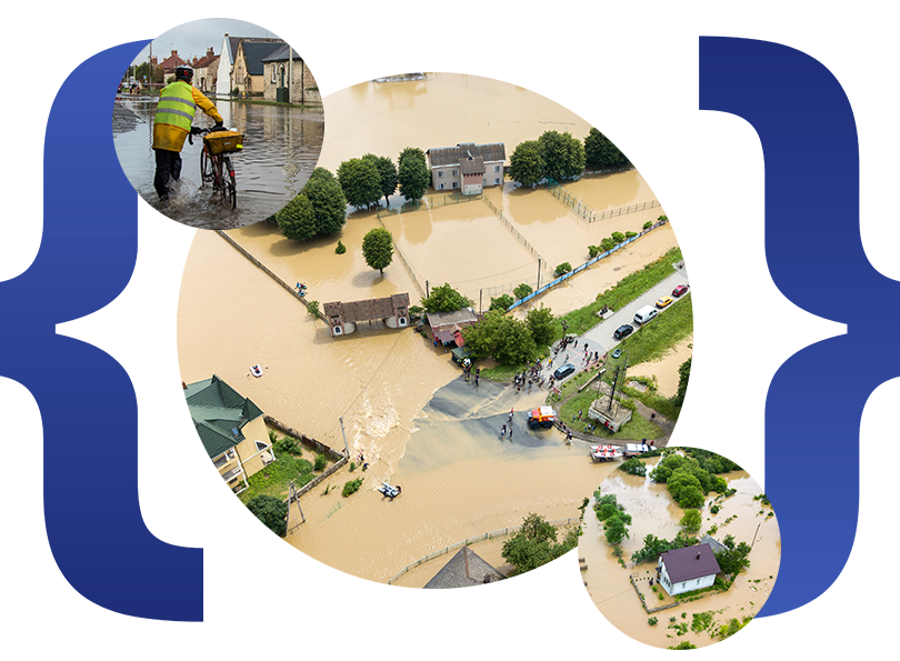
Overview
Bihar State Disaster Management Authority implemented iResponse, a comprehensive disaster management system, to effectively address the challenges posed by recurring floods caused by heavy monsoon rains and river overflows. The objective was to develop and deploy a platform that could deliver real-time situational awareness, improve coordination among multiple agencies, and enable a swift, organized response during disaster situations.
Challenges and Scope
Optimizing communication, coordination, and real-time data availability.
The state sought to improve flood management by enabling seamless communication between agencies, providing real-time situational awareness, and enhancing field coordination for efficient disaster response.
Solution
- iResponse Web Platform
- GIS Situational Awareness: Constant monitoring of flood-affected areas on a map.
- Seamless Communication: Efficient communication channels between government agencies, relief organizations, and field teams.
- Instant Alerts: Timely notifications to affected populations and emergency responders.
- Integrated Dashboard: A centralized dashboard for tracking progress and making informed decisions.
- GIS Mapping: Mapping of flood-affected areas and assessing damage.
- Rapid Disaster Response: Efficient deployment of resources and personnel to affected areas.
- Emergency Communication System: Reliable communication channels for responders and affected populations.
- Field Officer App
- Access to Real-time Data: Field officers can view up-to-date information on weather, flood conditions, and resource availability.
- Field Reporting: The app allows field officers to report on flood damage, roadblockages, and other critical issues directly into the system.
- Effective Coordination: The app enables field officers to communicate with the command center and coordinate relief efforts more effectively.
- Continuous Updates: Field officers provide ongoing updates on affected areas, including the status of evacuation routes and infrastructure.
Results
The implementation of iResponse enhanced Bihar’s ability to manage flood emergencies. Real-time situational awareness and seamless communication improved response times, better resource allocation, and increased public safety, resulting in quicker relief efforts and more effective disaster management.
Let’s Work Together
To learn more about this case study or for assistance, Please reach out to us; we’re eager to help your team.
CONTACT US